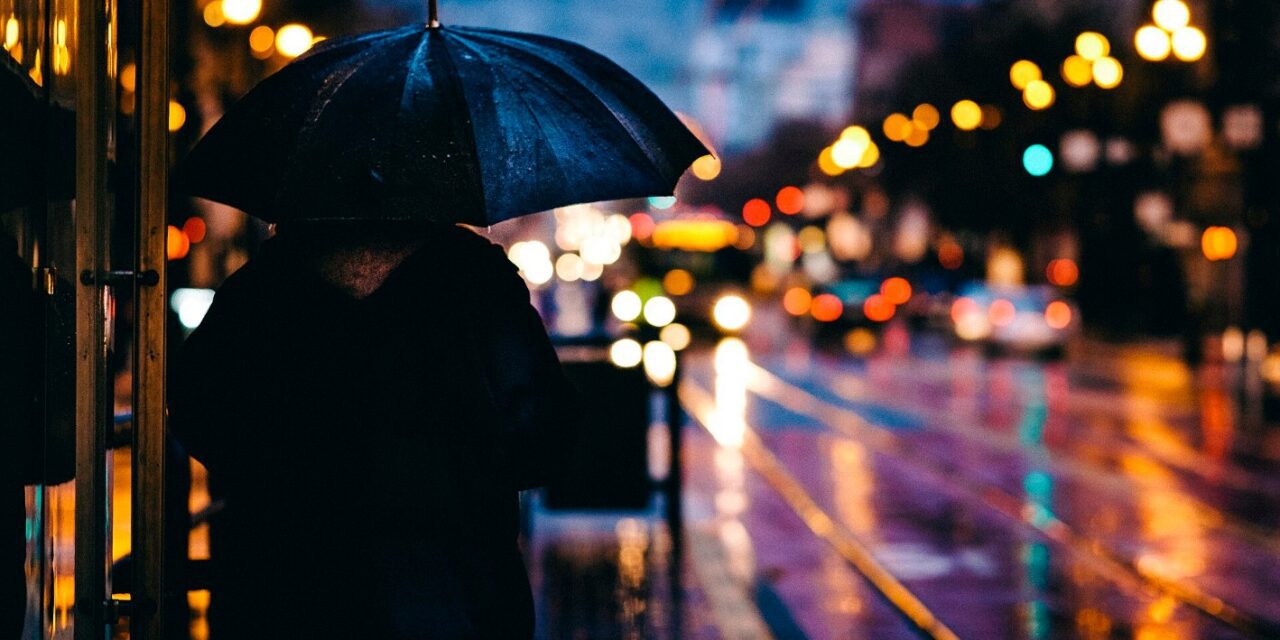
SAN FRANCISCO — Take the umbrella. The first big storm of the season hits the Bay Area today, and two more are lined up behind it.
Today
The steadiest rain and strongest wind in San Francisco and the East Bay are expected from about 10 a.m. to 3 p.m., according to the National Weather Service. South winds could gust 25 to 35 mph, with a few stronger bursts. There is a slight chance of thunderstorms.
A Coastal Flood Advisory is in effect for the San Francisco Bay shoreline through 4 p.m. because of high tides. Low spots near the water could see up to a foot and a half of flooding.
In Oakland, Public Works crews cleared storm drains ahead of the rain.
Tonight and Saturday: stay off the beach
A High Surf Warning starts at 6 p.m. today and runs into early Sunday. Forecasters expect breaking waves of 25 to 35 feet on the Pacific coast Saturday, with bigger sets at exposed spots. Sneaker waves and rip currents come with that. Ocean Beach is not the place to watch it from.
Showers should taper off Saturday morning.
Sunday and next week
A second storm brings rain back Sunday and into Monday. Tuesday looks like a break. A third storm is possible Wednesday.
Getting around this weekend
Remember that BART is not running between 24th Street Mission and Daly City on Saturday and Sunday. Free replacement buses are running, but in the rain that trip will take longer. Leave early.
If you can, check on an older neighbor before the rain starts.
Support 82 years of Black Bay Area journalism. Every story, editorial and Community Voice piece — $20 a year.